El Gebrado, Jardines de la Reina, Ciego de Avila, Cuba
CAMERA
NIKON D80, 105 mm f/2.8
EXPOSURE
1/160 sec at f/18, 105mm
DATE
31.03.2010, 20:26
Red
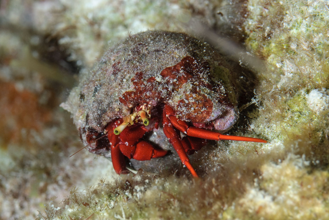
Red Reef Hermit (Paguristes cadenati), Jardines de la Reina, El Gebrado
Red Reef Hermit (Paguristes cadenati) #28
SPECIES
Red Reef Hermit (Paguristes cadenati)
LOCATION
El Gebrado, Jardines de la Reina, Ciego de Avila, Cuba
CAMERA
NIKON D80, 105 mm f/2.8
EXPOSURE
1/160 sec at f/18, 105mm
DATE
31.03.2010, 20:33
Red
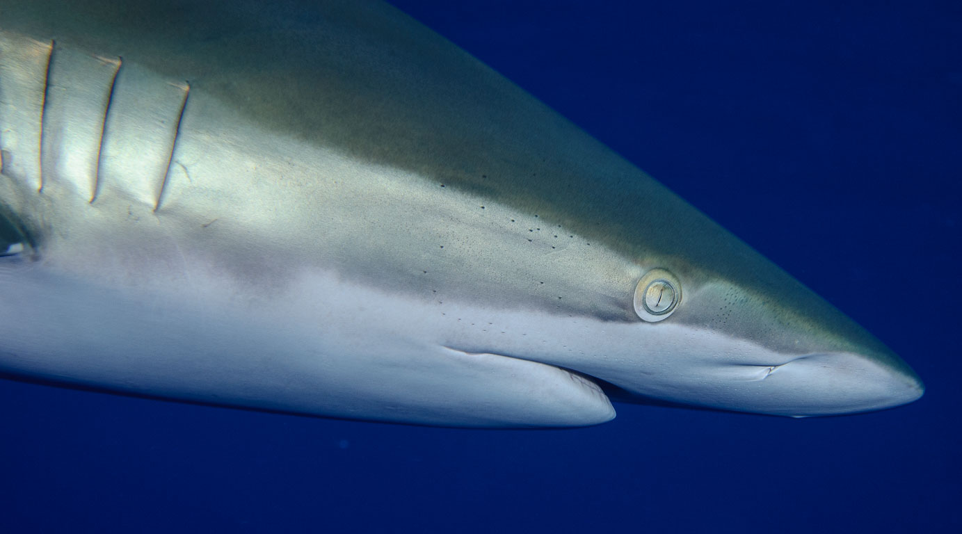
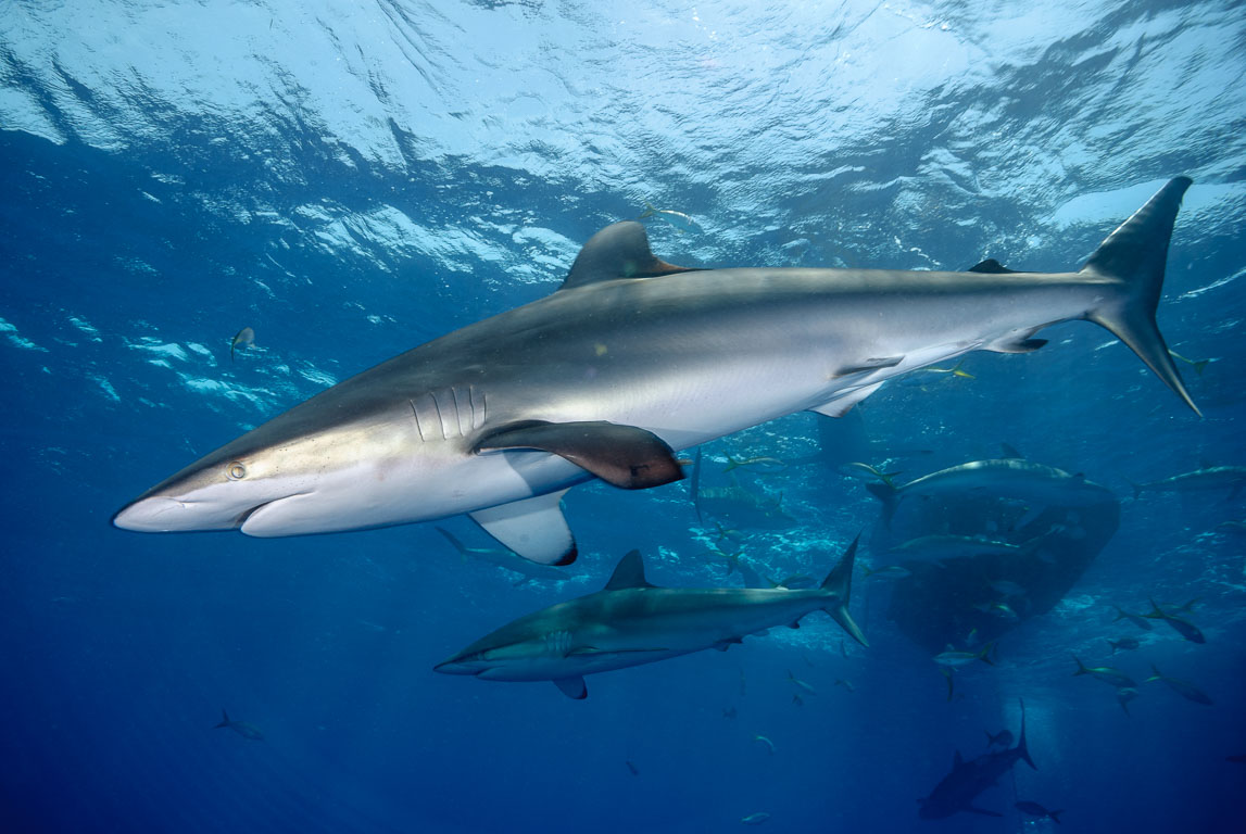
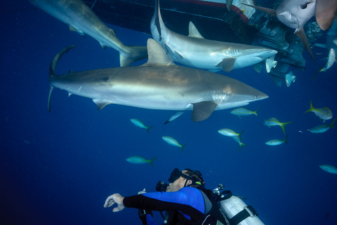
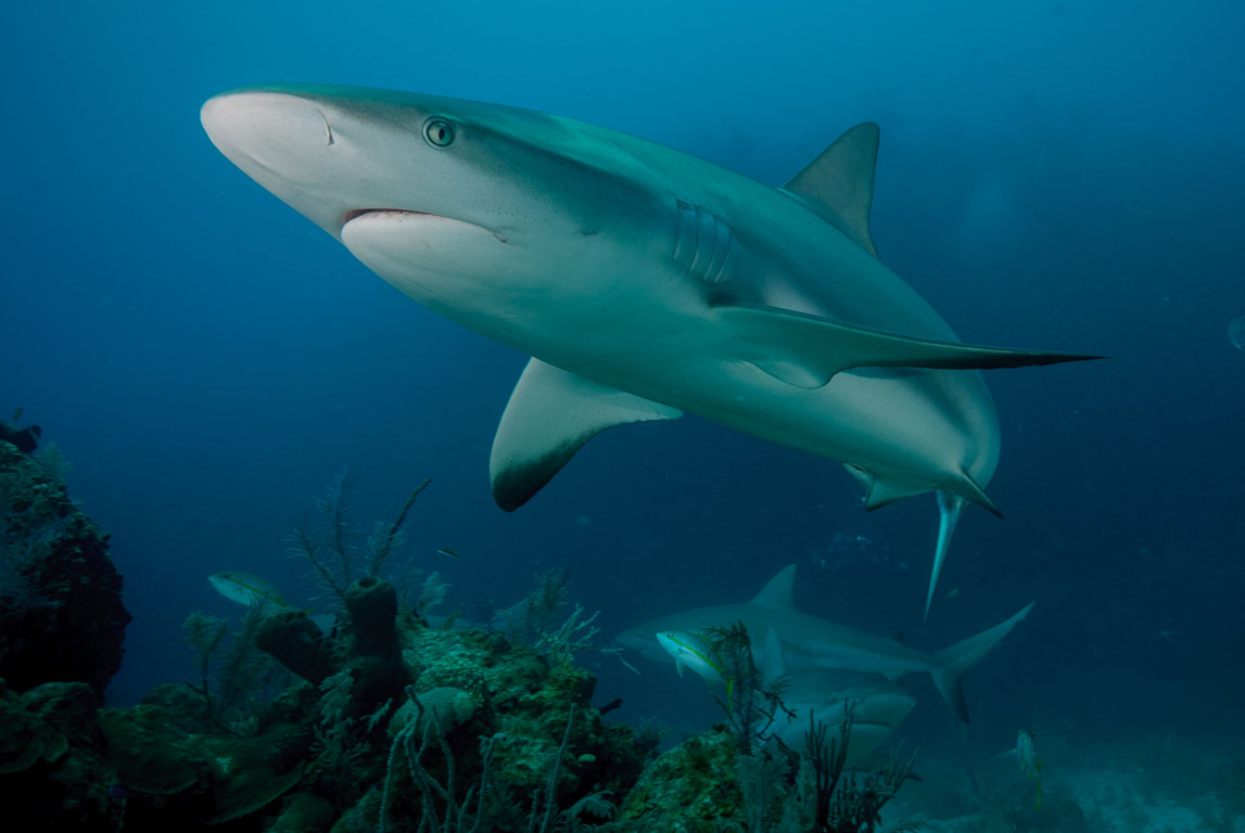
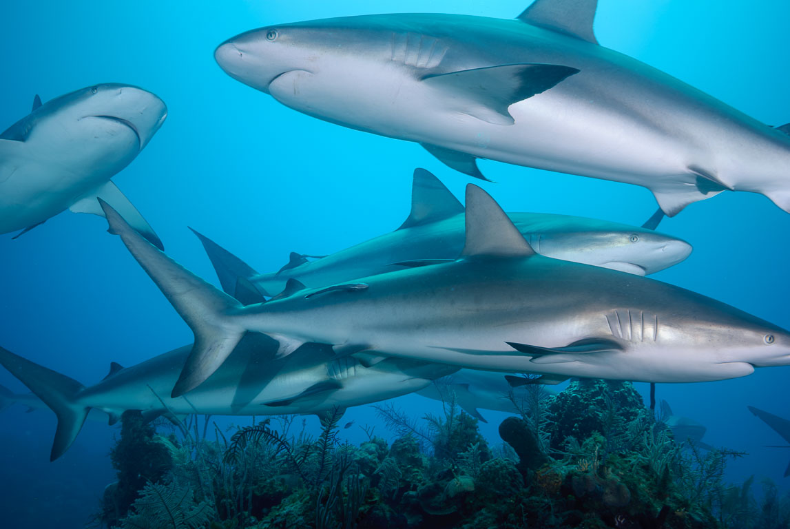
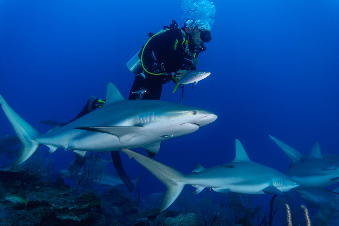
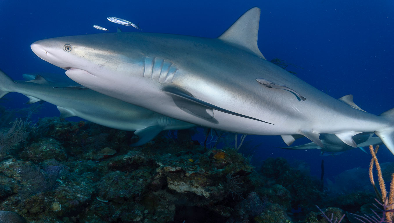
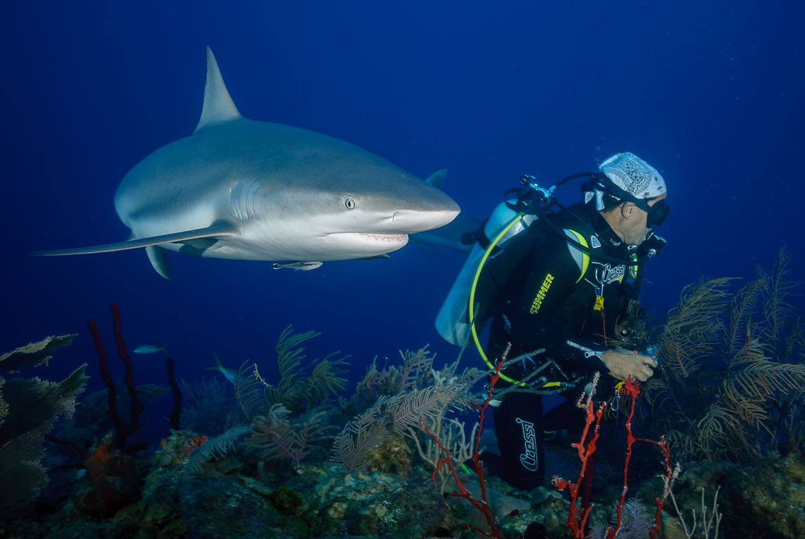
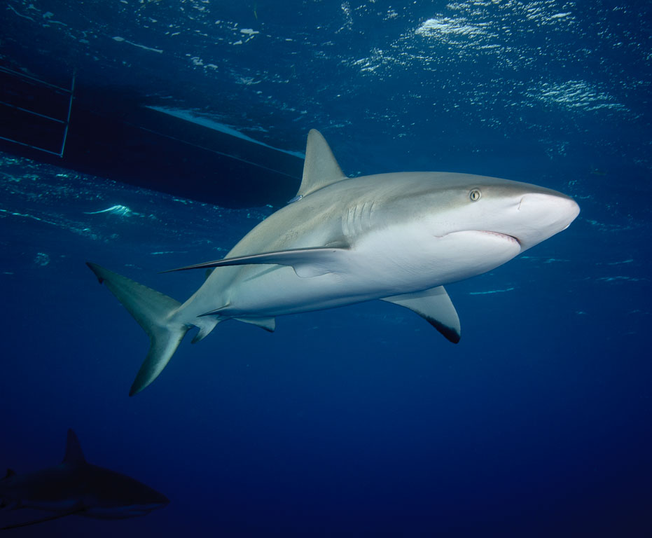
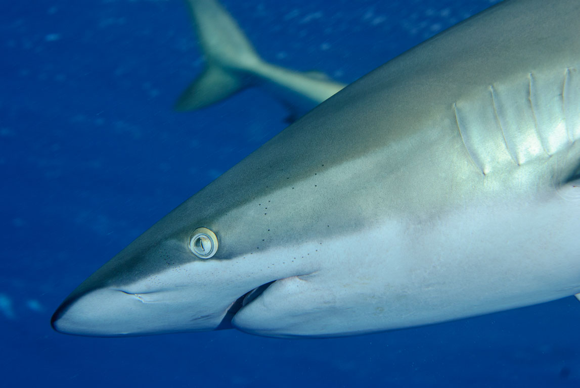
Silky shark (Carcharhinus falciformis), Jardines de la Reina, Vincent
Silky shark (Carcharhinus falciformis) #29
SPECIES
Silky shark (Carcharhinus falciformis)
LOCATION
Vincent, Jardines de la Reina, Ciego de Avila, Cuba
CAMERA
NIKON D80, 60 mm f/2.8
EXPOSURE
1/160 sec at f/8,0, 60mm
DATE
01.04.2010, 09:41
Red
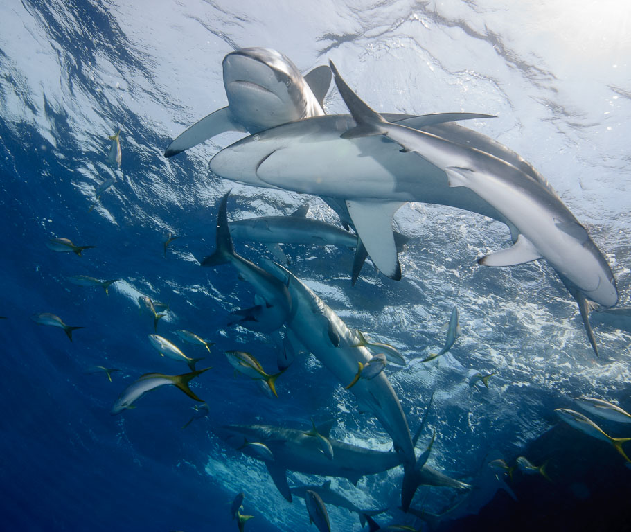
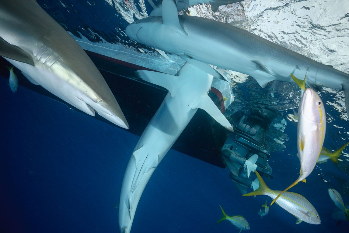
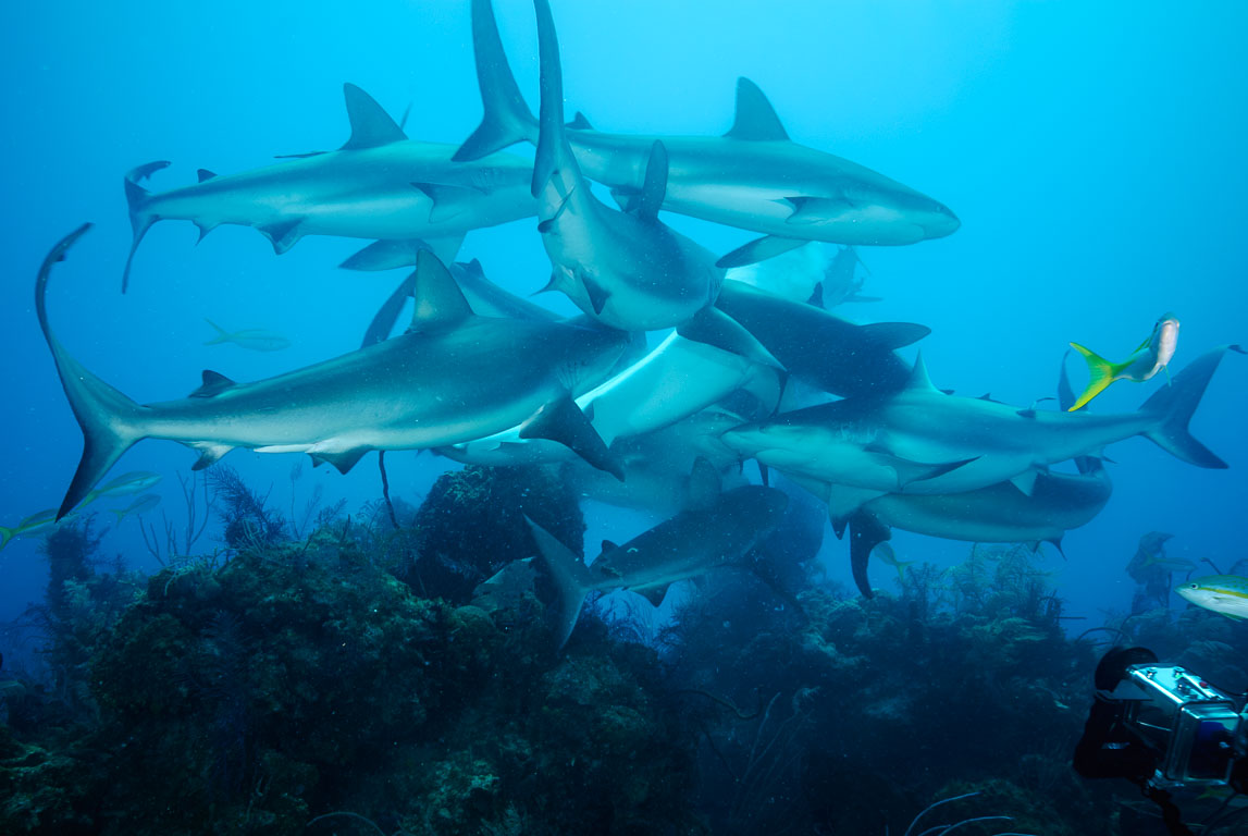
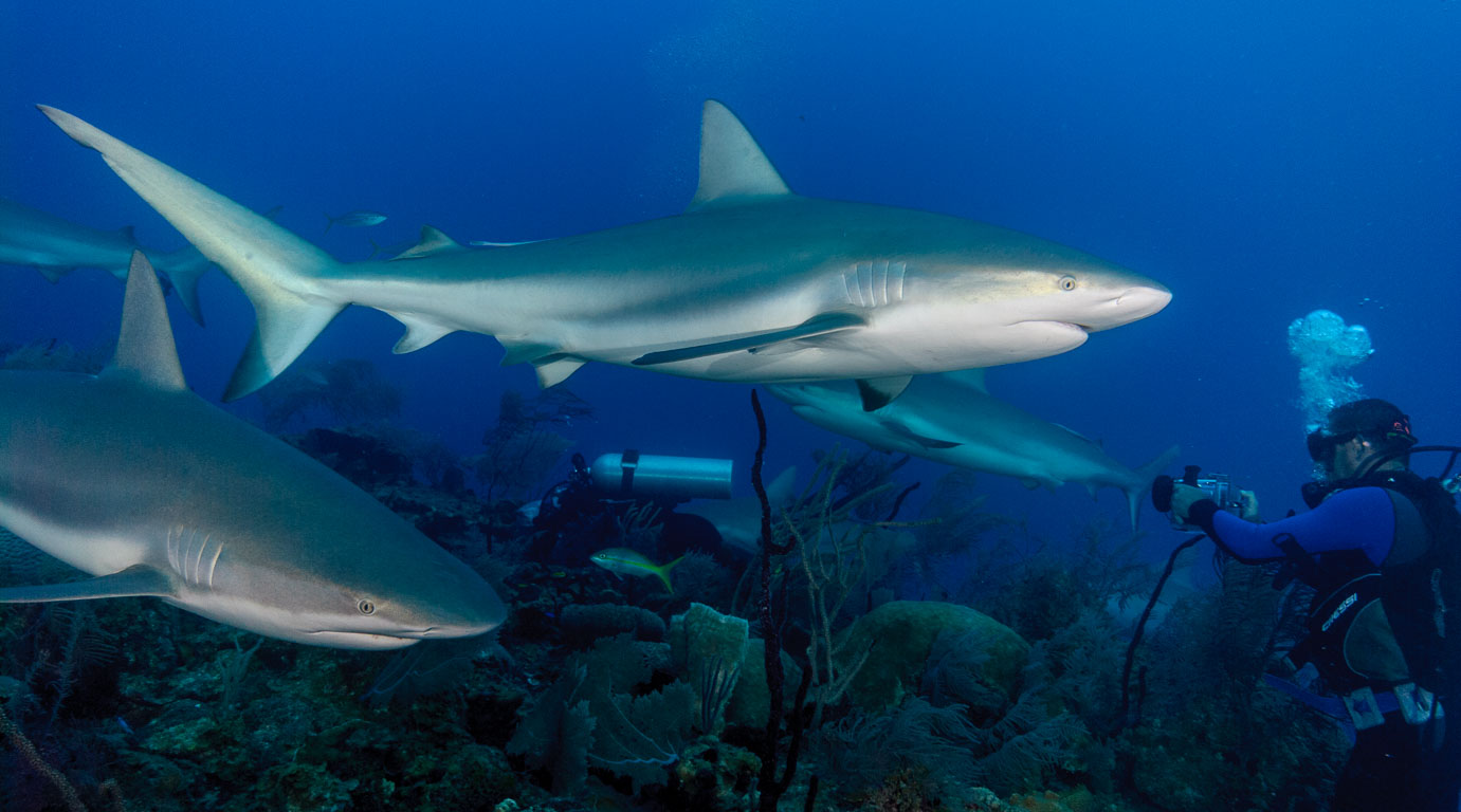
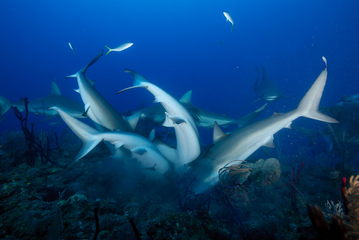
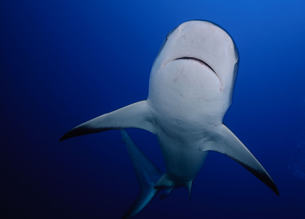
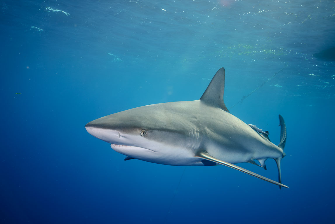
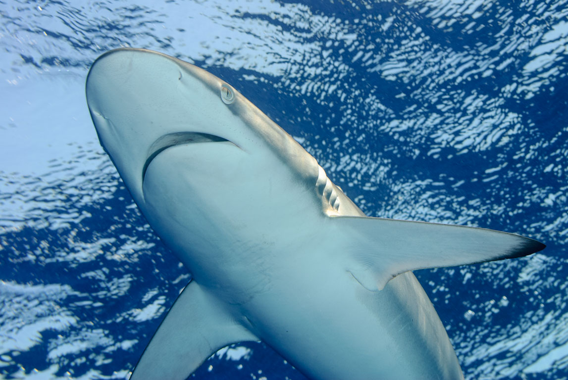
Silky shark (Carcharhinus falciformis), Jardines de la Reina, Vincent
Silky shark (Carcharhinus falciformis) #30
SPECIES
Silky shark (Carcharhinus falciformis)
LOCATION
Vincent, Jardines de la Reina, Ciego de Avila, Cuba
CAMERA
NIKON D80, 60 mm f/2.8
EXPOSURE
1/160 sec at f/8,0, 60mm
DATE
01.04.2010, 09:46
Red
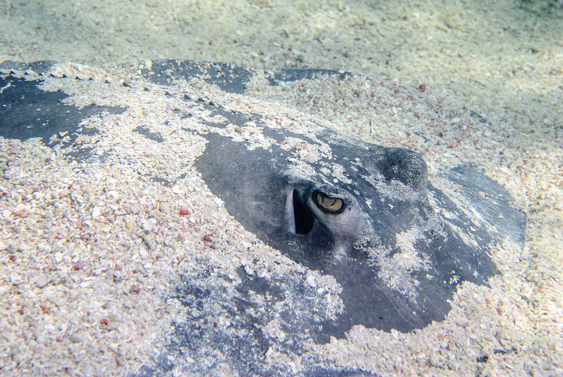
Roughtail Stingray (Bathytoshia centroura), Jardines de la Reina, Vincent
Roughtail Stingray (Bathytoshia centroura) #31
SPECIES
Roughtail Stingray (Bathytoshia centroura)
LOCATION
Vincent, Jardines de la Reina, Ciego de Avila, Cuba
CAMERA
NIKON D80, 60 mm f/2.8
EXPOSURE
1/200 sec at f/10, 60mm
DATE
01.04.2010, 12:04
Red
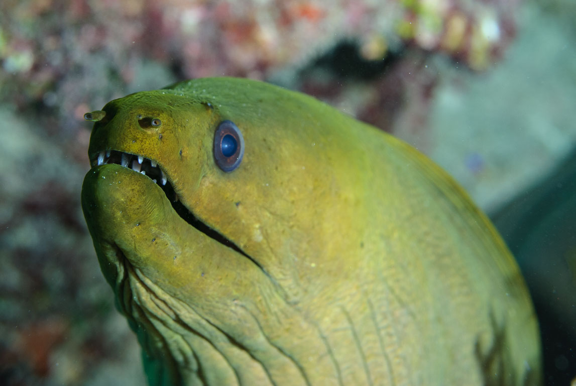
Green moray (Gymnothorax funebris), Jardines de la Reina, Pipin
Green moray (Gymnothorax funebris) #32
SPECIES
Green moray (Gymnothorax funebris)
LOCATION
Pipin, Jardines de la Reina, Ciego de Avila, Cuba
CAMERA
NIKON D80, 60 mm f/2.8
EXPOSURE
1/160 sec at f/9,0, 60mm
DATE
01.04.2010, 15:53
Jardines 2010 Dive Sites Map
10 dive sites,
32 photos
Click the map to enable scroll-wheel zoom. Switch on “Water depth shading” and click anywhere
for the approximate depth, “Seafloor relief” for sonar-surveyed areas, or “Nautical marks”
(zoom in) for harbours, wrecks, buoys and lights. Depth data (GEBCO grid of roughly 450 m; GMRT
only where ships have surveyed) and nautical marks (OpenSeaMap) are for orientation only,
not for navigation or dive planning.
Pin positions mark the start of the dive (boat anchor or entry point), not the exact spot underwater.
Zoom out to see dive sites of other locations: grey pins are dive sites without photos, flags are dive centers.
Pale pins show an approximate position (nearby dive center or dive area).
Click a thumbnail to open the Photo Viewer. The viewer provides several options:
🔍 Zoom
▶ Slideshow
⛶ Full screen
▦ Thumbnail overview
▣ Photo information
The GPS positions on the Dive Site Map are approximate. As GPS is not available underwater, the coordinates refer to the general dive site location.
 Red
 Red
 Red
 Red